 Nodal, Bartolome & Gonzalo


 Nodal, Bartolome & Gonzalo
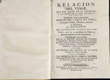
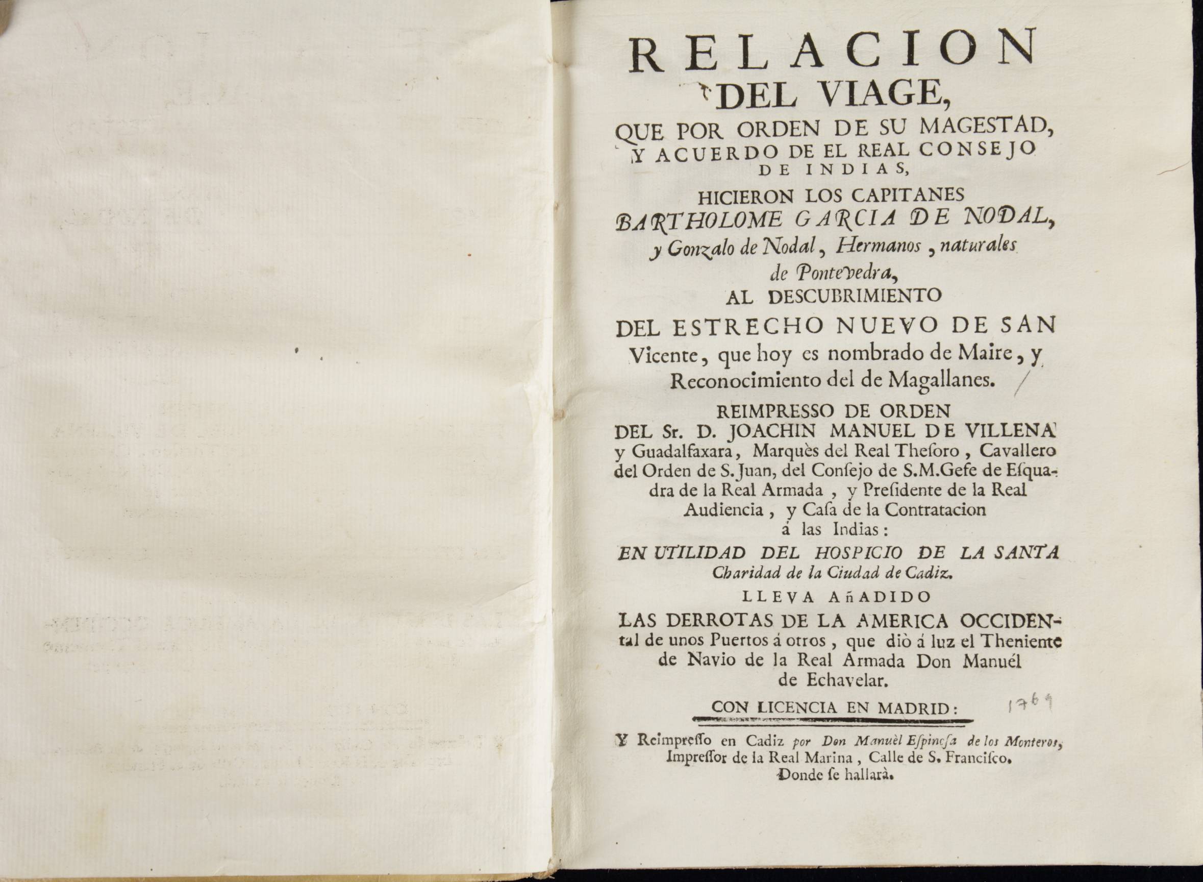
Relación del viaje..al descubrimiento del
Estrecho nuevo de San Vicente..hoy nombrado de Maire
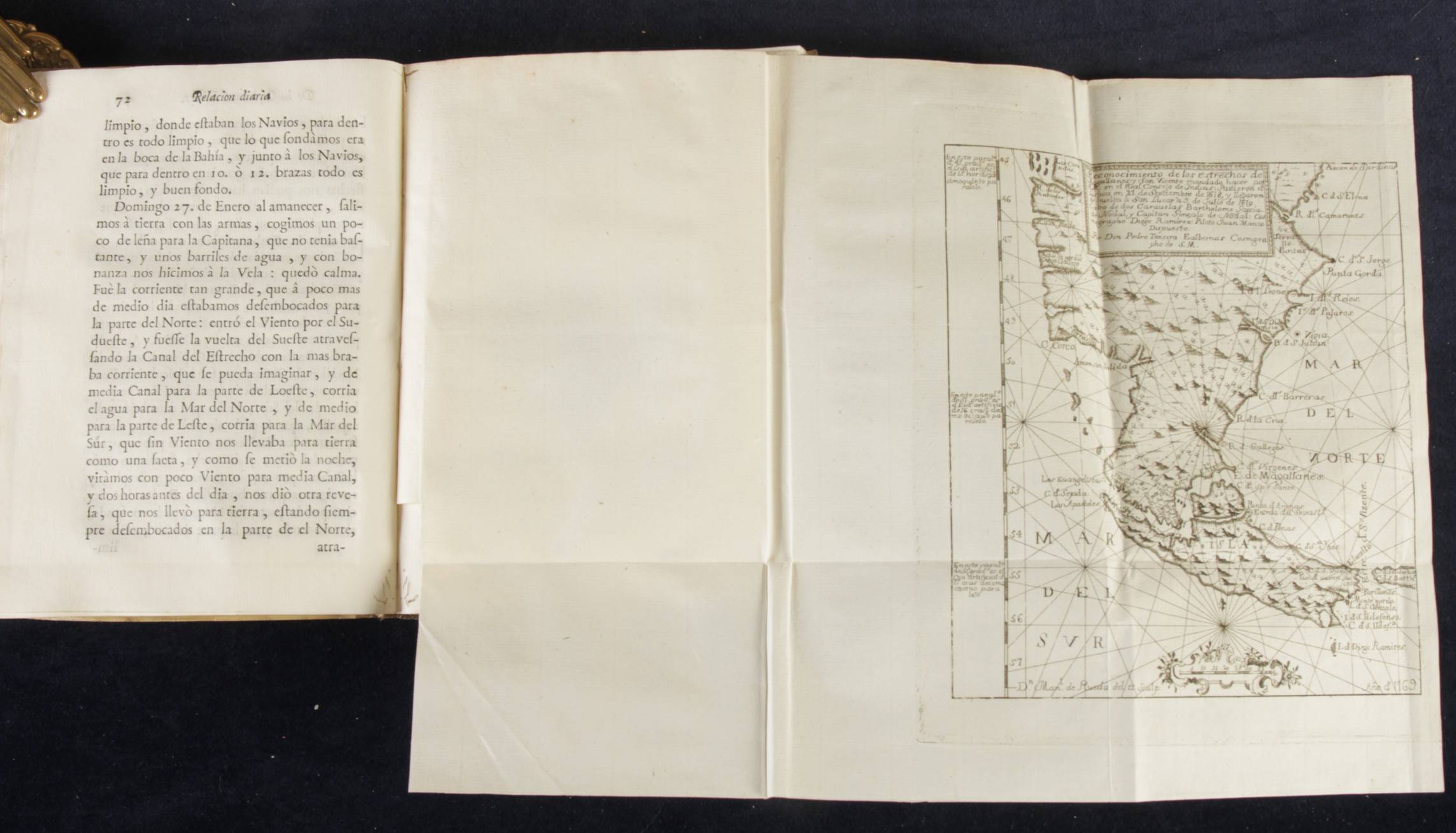
y reconocimiento del de Magallanes
reimpreso ...
Cadiz, 1753
Palau 99486
Small in quarto, contemporary limp vellum
Title in manuscript on the spine: Viage de los capitanes Nodales
10 nn lvs; 162 pp 2 nn lvs
44 pp one original blank leaf.
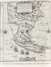
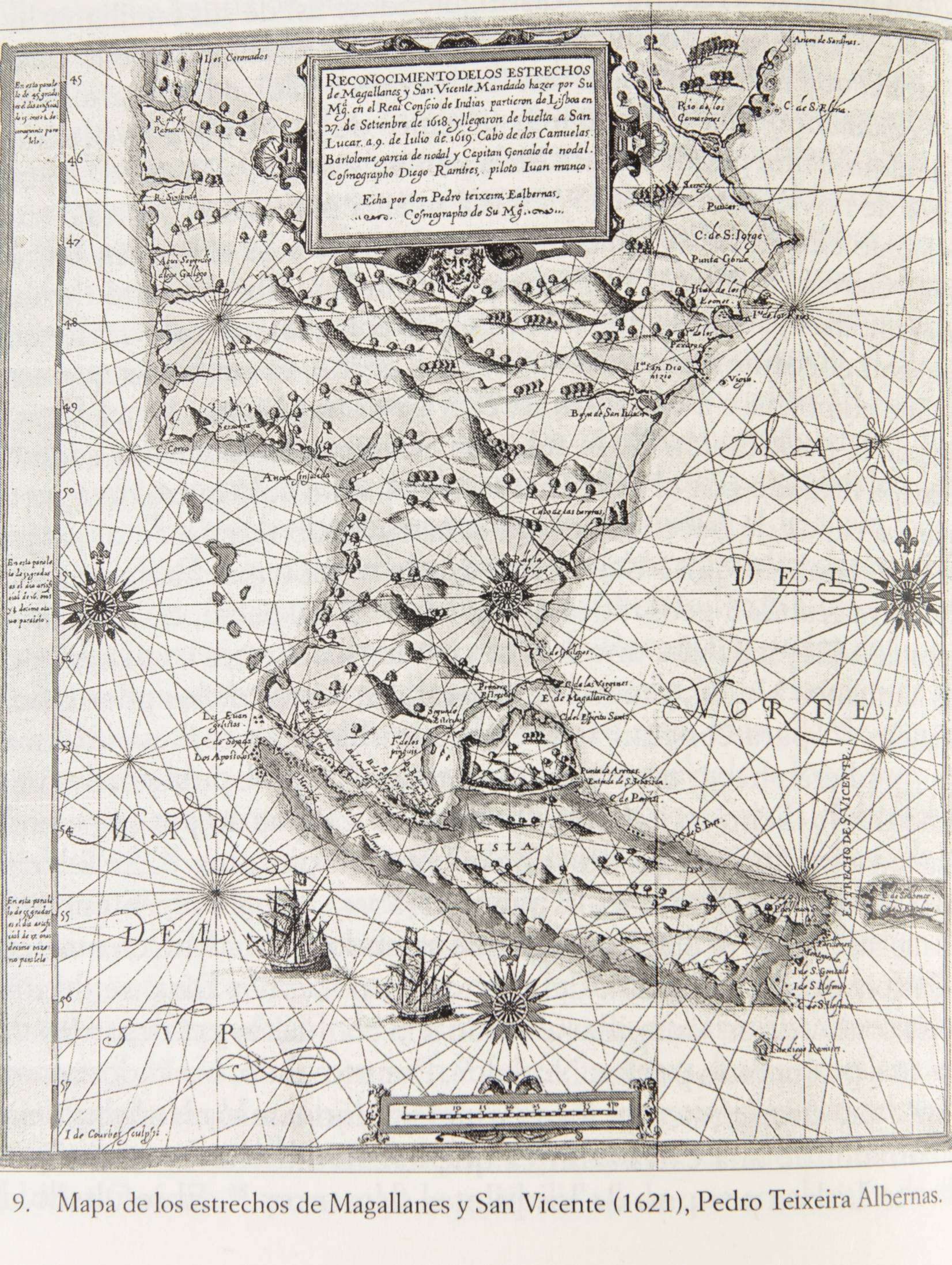
One folding map, dated 1769: 19,5x17 cm on a larger folding leaf
Various small woodcut coastal profiles.
Complete and clean copy in its original condition. Tiny worming here and there, mainly marginal.
This is the one and only edition after the original, published in 1621, of the voyages of the Nodal brothers to explore and describe the most southern part of South America. This re-edition includes the very rare map of the area in a reduced format. The Nodal text is preceded by four different introductory pieces and followed by a second book with sailing instruction, derroteros, for sailing the coasts of islands and the mainland in the Caribbean and North America.
The Nodal brothers sailed 27 September 1618 and returned 9 of July 1619. briefly after the voyage of le Maire and Schouten who sailed on June 15, 1615 and whos first printed report on rounding Cape Horn was published by Blaeu in the Netherlands on September 25, 1618. The first edition of Nodals report was in 1621.
The purpose of both voyages was the same, secure a better entrance into the Pacific and on to the Spice islands approached from the West. Interesting enough the Dutch were fighting Spain for their independence between 1568 and 1648. So both countries had additional objectives towards each other. Even more interestingly the two countries lived through an armistice between 1609 and 1621, precisely when these explorations occurred. Two countries at war, one catholic one protestant, in an armistice, far from home and in fierce colonial competition when these voyages occurred.
Spain had of course discovered the approach to the Spice Islands from the West by sponsoring Magellans voyage around the world. Spain claimed its rights on the passage in meetings with Portugal, first in Elvas (1525) and then in Zaragoza where it leased its rights to Portugal in exchange for 300.000 ducates in gold. In spite of that, Spain sent maritime forces to colonize and settle the lands north and south of Magellans Straight in 1565.
The Dutch, becoming a maritime world player by fighting Spain and Portugal from 1580 onwards for its independence by that time sent out a fleet of five ships to reach the Indies by Magellans Straight. At the same time the Dutch had sent ships on similar missions in1594 looking for the NE passage to Catay (and the Indias) and around Cape of Good Hope in 1598. An explosive thirst for exploration, trade and power.
Bibliography:
Rodriguez Couto, David: Imperio y Reputación: El viaje de los hermanos Nodal y su mundo. Pons historia, 2024
______________________________________________________________________________
i) Sebald de Weert sailed in June 1598 sailed through Magellans Strait through and froe and returned to Holland. The notes and maps made by his helmsman Jan Outgertszoon were the basis of the excellent map of the Straight by Hondius in Mercators atlas of 1606. The first written report on this disastrous voyage was written by Zacharias Heyns based on detailed information by the ships surgeon, Barent Janszoon (Tiele, Memoires pp 23 and 24)