 Grimmel, J.
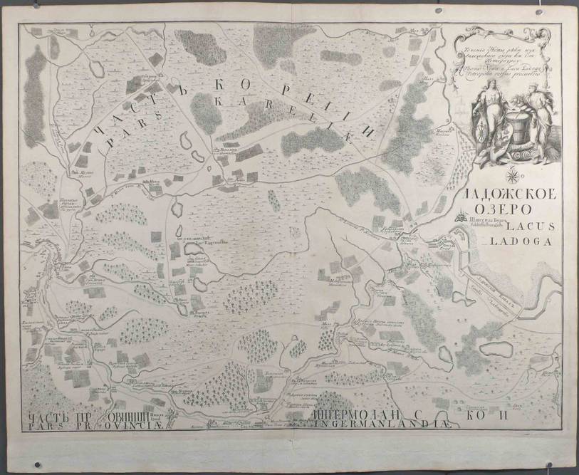
Fluvius Newa
c. 1743 - B/W copper plate engraving - 46,5x61,5 cm - lower margin added contemporarily to fit into the Atlas Russicus. This map shows the course of the Neva River. Text in Russian and Latin.
One of a set of maps of the surroundings of new St. Petersburg/Lago Ladoga. This series appeared without any date and there are no traces of publication in documents of the Akademiya Nauk (Bagrow II, p 184). They were probably published by the end of 1743. It should be noted that the aforementioned series of maps were all repeated in a new edition by Seutter in Wien (Bagrow).