 Solinus, C.J.


 Solinus, C.J.
Polyhistor, rerum toto orbe... &
Mela, Pomponius
De situ orbis, libros tres
Basel, Isingrin. 1543
Graesse VI.1.431; Buhrmeister 172; Asia map: Sweet, nr 1; Burden nr 11
Two books in one volume.
In folio, 32,3x 20,6 cm
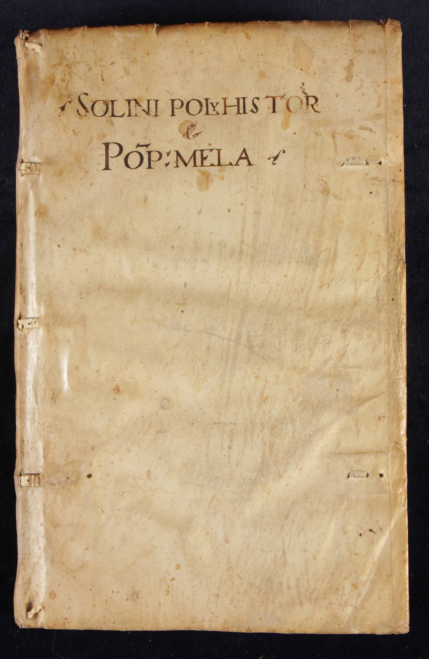
In contemporary, limp vellum. In a modern slipcase
Old manuscript title on front plate and spine.
Solinus: 10 nn leaves;
Title page with printers device: Palma Ising (Isingrin)
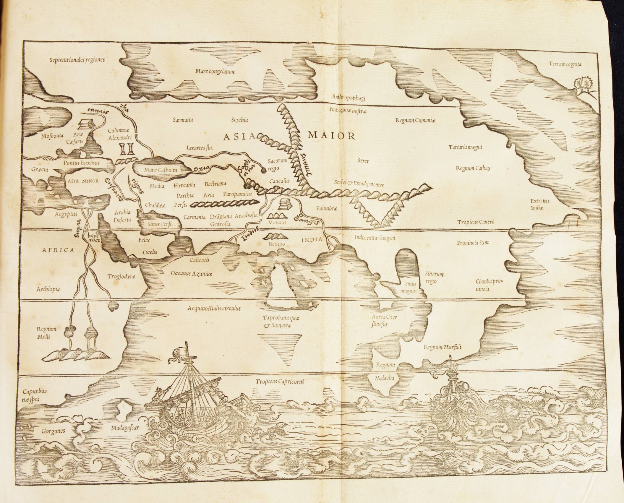
pp 1-144 including 15 maps, of which two folding and double page:
Greece in classical times and
Asia major on a unnumbered double folio
Mela: pp 145-230: 85 pages, including 5 maps
One original blank, verso colophon: Palma Ising
Example in its original state and binding
This is the second edition (first 1538) of the Solinus and the Mela cosmographies, both classical texts of geography with commentary by Petrus Johanus Olivarius and edited by Sebastian Münster, printed by Isinger. This atlas in its first edition precedes Münsters own Ptolemy Geography (1540) and Cosmography (1545).
The Solinus map of Asia (Burden 11, state 2) is one of the first, dedicated exclusively to the continent. The map also shows the north-west of the American continent: Terra incognita.
This is the earliest representation of the NW coast of America on a printed map (Burden)
Solinus
Page 7: Plan of Rome: three dimensional. Showing the walled city crossed by the Tiber r. and the major buildings
Page 23: Italy, upside down
Page 29: Morea (small)
Between pp 38 and 39: double page map of Greece
Page 43: Figura Rhodi insulae
Page 46: River Rhein
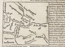
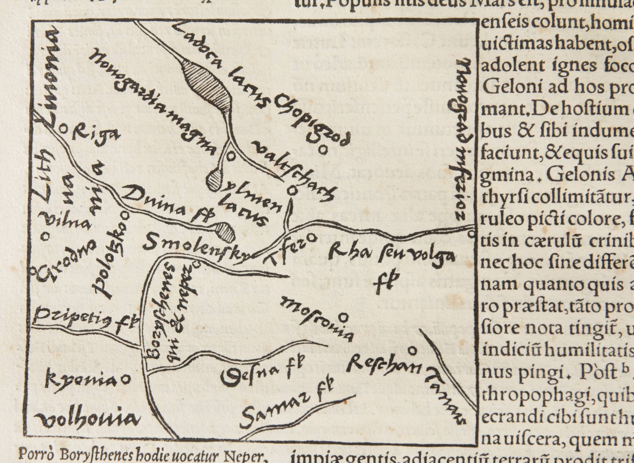
Page 48: Russia
Page:53: Mare Caspium
Page 54: Mediterranea
Page 60 : Switserland
Page 62 : Anglia
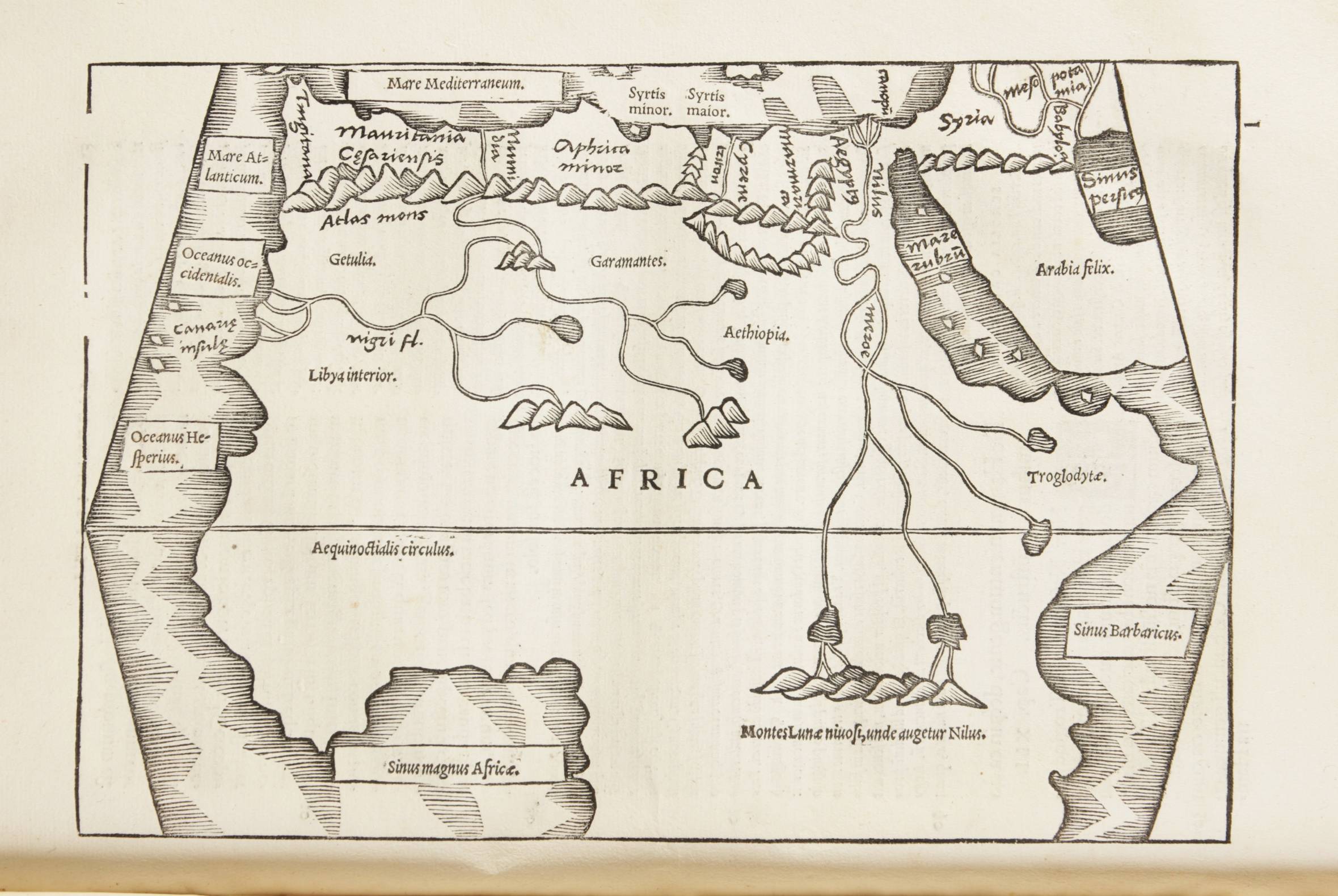
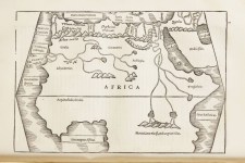
Page 80 : Africa, full page
Page104 : Iudea
Page 110 : Asia minor
1044-145 : no number : ASIA MAJOR, double page
Mela
Page 152: Europa
NB: p. 173: Inquisition crossing out, lines of text??
Page 177: Palus Meaotica
Page 186: Greece
Page 193: Sicilia