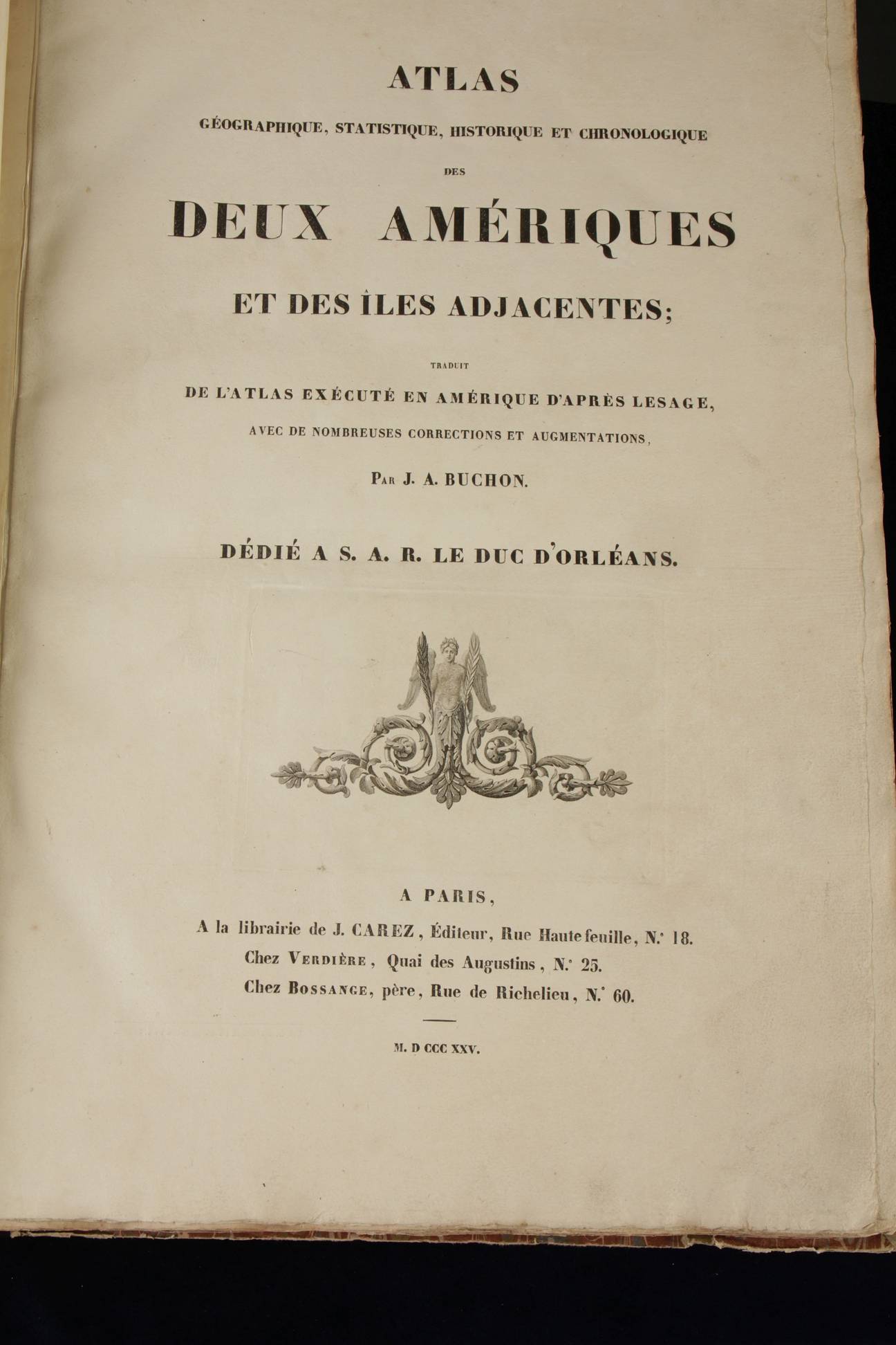
 Buchon, Jean
Atlas geographique, statistique...
des deux Ameriques
Paris, Carez. 1825
(Phillips 1167)
Atlas in Gran Folio (55,5x39 cm)
Uncut copy with 51 handcoloured maps and 2 printed tables
Condition: excellent
French and updated edition of the Carey and Lea atlas of the Americas of 1822. It has the 28 States of the United States of the time. This edition of the atlas is of special interest because it captures the South American revolutions. Apart of describing history of the countries concerned to the end in 1824 it includes the brand new constitutions of Haiti (1806); Colombia (1821) and Mexico dated October 4, 1824.
Important maps are:
IV: Russian America (Alaska )
VI: United States (excluding Texas)
VIII: United States, each State is marked when it joined the United States and how it became independent
XXV: Washington and the District of Columbia
XLII: Mexico, plus its history, plus its Constitution of 04/10/1824
XLIII: Guatemala, plus its history
XLV: Caribbean islands plus its history
XLIX: Haiti with its history and its Constitution (1806)
Colombia (Colombia, Equador and Venezuela) and its Constitution of August 30, 1821